
GIS
Geographic Information System (GIS) is a computer-based system designed to capture, store, manipulate, analyze, manage and visualize geographic information usually in a map. GIS is a powerful tool which is applied in almost every discipline around the globe. Millions of spatial decision-making are riding on GIS technology.
Map Afrique provides a wide range of GIS solutions for GIS consultancy, web Mapping Technologies, GIS Data Analysis and Management, GIS Requirements Assessment and Design, cartography for creating custom maps and many more.
E-Health
Transportation
Story Maps
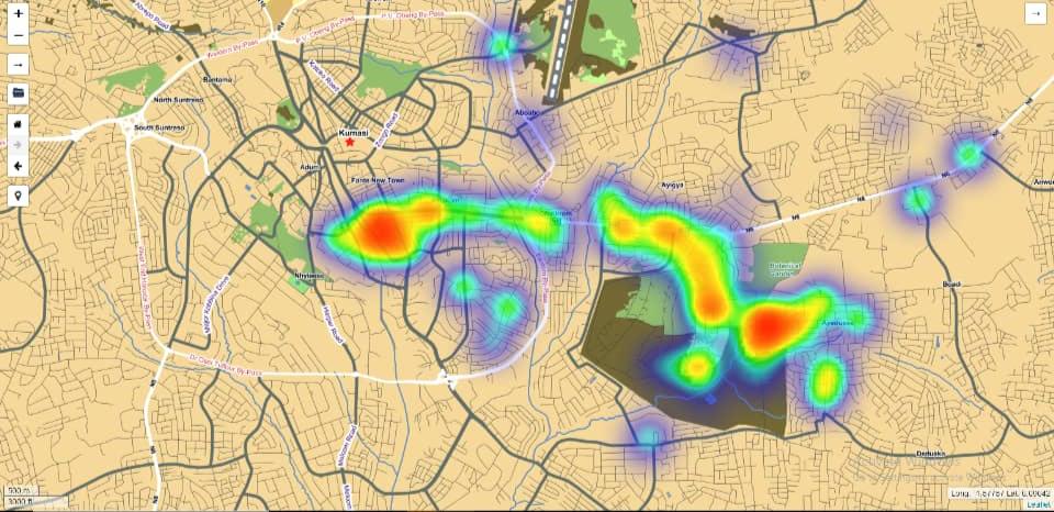
Hotspot Analysis


Our GIS services include:
Urban Planning, Management & Policy
Zoning, subdivision planning, Land acquisition, Economic development, Housing renovation programs, Emergency response, Crime mapping and hotspot analysis
Environmental monitoring and management
Monitoring environmental risk, Modeling stormwater runoff, Management of watersheds, floodplains, wetlands, forests, aquifers Environmental Impact Analysis, Hazardous or toxic facility siting, Groundwater modeling and contamination tracking.
Engineering/Utility
Locating underground facilities, Designing alignment for freeways, Coordination of infrastructure maintenance, Terrain and slope stability analysis, Cut and fill estimates, Visibility and view shed analysis, Alignment and grade calculations, Right-of-way corridor studies, Environmental impact assessment Cost and flow analysis.
Real Estate
Neighborhood land prices, Traffic Impact Analysis, Management of real property, Inventories for the land market, Management of accurate tax ratings on property, Tax mapping, Assets management and mapping
Health Care
Epidemiology, Needs Analysis, Service Inventory.
Businesses
Retail site selection & customer analysis, Logistics: vehicle tracking & routing, Demographic analysis, Market Penetration/ Share Analysis, natural resource exploration (petroleum, etc.), Identifying the potential location of customers for location of banks